Consorzio LaMMA – Laboratorio di Monitoraggio e Modellistica Ambientale per lo sviluppo sostenibile – established in 1997 by CNR and Regione Toscana – follows the modeling strategy of IMPACT project partners. It takes part to the expansion and improvement of the transboundary network of HF radar systems, and oceanographic and Lagrangian modeling.
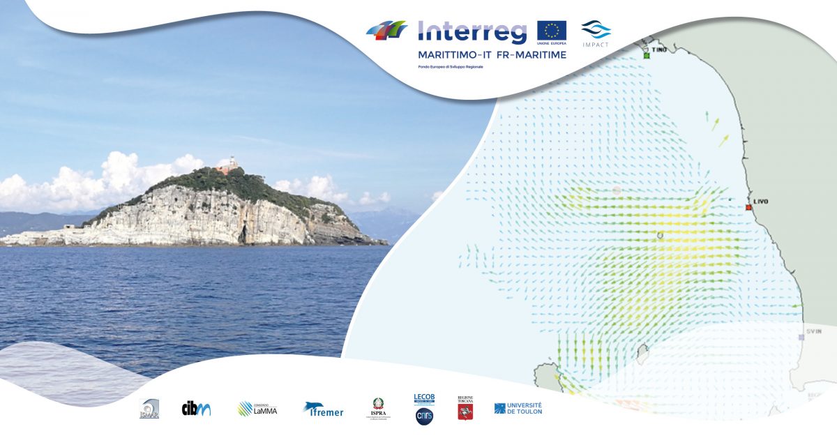
Consorzio LaMMA contributes to the improvement of HF radar network by managing three antennae installed in San Vincenzo, Tino Island and at the Naval Academy of Leghorn. They are useful to have a constant monitoring of the marine currents in a large area of the Tuscan Archipelago and the Ligurian Sea.
Collected data are used for the calibration and validation of hydrodynamic models, and for the study of hydrodynamic pattern in the transboundary area.
It was created a chain of hydrodynamic models able to track and analyse the material transported by the current, with the aim of evaluating the odds that pollutants, spilled in a port area, migrate to a Marine Protected Area.
Consorzio LaMMA has carried out a study on the interaction between the port of Leghorn and Meloria Shoal Marine Protected Area. It includes three hydrodynamic models with growing resolution of 1 km, 400m and 50m: they can provide information about currents, temperature, density and sea level in restricted areas as the resolution grows.
Three-dimensional current field – provided by the model with 50m of resolution – has allowed the realization of Lagrangian simulations. They ensure a periodic release of particle within the port area and, at the same time, it is possible to have a continuous tracking of their path, according to the transport mechanism determined by currents.
Data obtained have contributed to create – after post-processing operations – some maps of oceanographic distance, which is considered as the minimum estimation of time it takes a pollutant to reach a certain position from the port.
An initial analysis showed that most of the transportation by currents occurs longitudinally to the coast, and Meloria Shoal Marine Protected Area seems to be less affected.