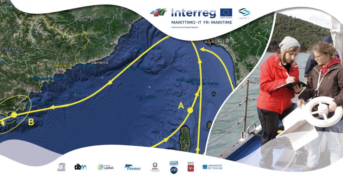
Polluting spillage at sea is an event of critical environmental relevance. The intervention by the authorities, in order to reduce damages, is linked to the availability of forecasting tools. These tools provide information on possible directions pollutants can spread to.
As part of the IMPACT project, CNR-ISMAR, Consorzio LaMMA, IFREMER and Université de Toulon are the partners who provide support information to the authorities responsible for the marine protection. They use a Geographic Information System (GIS), that will be online soon.
One of the data that will be available on the GIS is the oceanographic distance. It can be calculated by integrating observations of surface marine currents (obtained by HF radar and drifter) with results of numerical models, to extend the estimation of marine currents to the whole water column.
The oceanographic distance is important for understanding how close two points are, and linked in terms of currents transport. It refers to the average time required to connect place A to place B, under the action of the marine currents.
Two places can be geographically distant but oceanographically close, it depends on the marine currents.
In October 2018, there was a collision between two ships in the northern part of Corsica, more specifically in the marine natural park of Cap Corse and Agriates. This accident allows us to explain better the difference between geographic and oceanographic distance.
Numerical models predicted that oil spillage, under the action of the marine currents, would reach the coast of France, and not the coast of Corsica and Liguria as expected.
It can therefore be concluded that Corsica and France are oceanographically close, and linked in terms of marine currents and transported material, despite being geographically distant.